Shipping containers: you see them in large piles in New Jersey and Southern California. You see them on chassis toting around your new flannel shirts and the little thing to trim your beard, coming from places all over the world. They move in clear and repeatable patterns. They mostly come on boats.
In the 17th century, routes and methods of transportation were largely dictated by prevailing winds, by the geography of supply and demand for raw materials, and by climate. Routes were shaped by the depth and calmness of ports. Today, global shipping routes look nearly the same as they have for hundreds, if not thousands of years. The only thing we’ve really added in the past century is petroleum, which mostly goes through the Suez.
The movement of containers responds to non-geographic patterns as well. Regulatory and legislative characteristics, such as trade agreements, international law, and geopolitical climate, can be just as powerful in shaping trade routes. Ships come registered in other countries, like Panama and the Bahamas, not because of taxes but because of labor laws.
In turn, the flow of containers shapes landscapes and communities. Once containers reach land, we unload them with cranes and put them on truck chassis to be driven across the country. In some locations containers are placed directly onto rail cars to be transported to industrial facilities, inland-ports, or intermodal freight terminals. We can transport freight a long way on a small amount of carbon when we put containers directly on rails. We double stack containers when all is well.
Port of Los Angeles, California. Photo by Nicholas Pevzner.
The containers really became useful for global goods movement during the Vietnam War. At that time, there was no existing infrastructure supporting the transport of goods from the U.S. to Vietnam at the magnitude and precision required to sustain a military force. How do you fight a battle in a country which has no infrastructure? You bring your own, you set it up yourself, you bring containers on the boats you already have, and you bring the chassis to move those containers across the country. By the end of the war, there were about 150,000 to 200,000 containers in Vietnam, representing about 15 million square feet of warehousing — about one-third of the total warehousing in Southern Asia at the time. We now take containers back; we expect trade to move in two directions. We did not realize at the time that a fire hose of containers would be shooting right back at us.
The entry of China into the World Trade Organization in 2001 had a profound effect on the growth of containerization. This single event fundamentally changed the prevailing direction of global trade. For centuries, the dominant flow of trade was to-and-from Europe; after China’s integration into the global economy, it quickly became the United States’ primary overseas trading partner and the direction of overseas trade began to shift. The two biggest West Coast ports (Los Angeles and Long Beach) grew as well, and the surrounding landscape of unloading facilities, distribution centers, and the transportation networks connecting them developed in step as trade and the flow of containers continued to shape the infrastructure, economy, industry and urbanism of the American West.
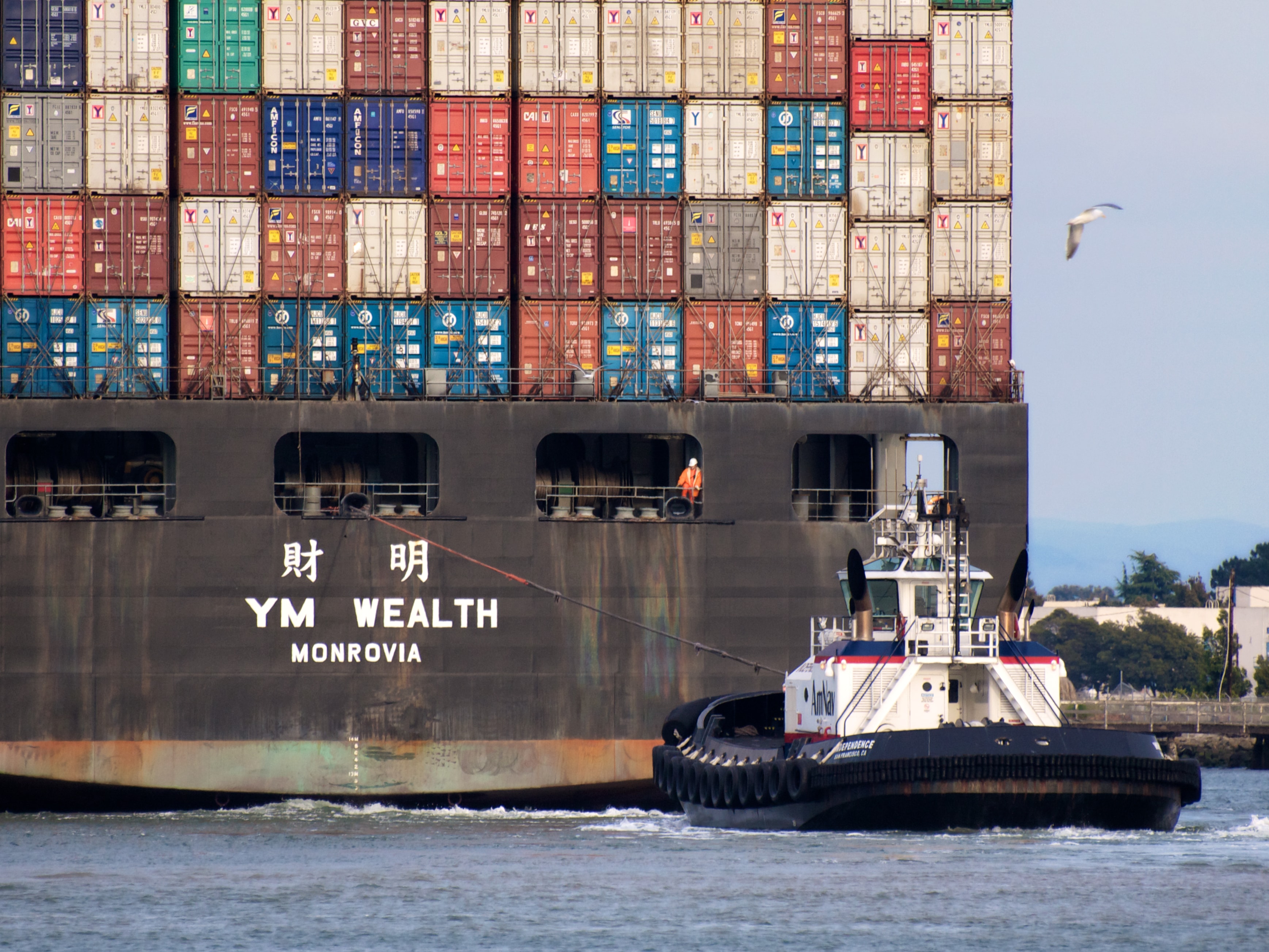
Port of Oakland, California. Photo by Ingrid Taylar.
In Vietnam, militarization shaped distribution patterns. Similarly, after the end of the Cold War, de-militarization has also been a factor in reshaping the distribution of goods. After the United States Congress approved the Base Realignment and Closure (BRAC) program in 1990, large underutilized formerly military infrastructure became available for new uses, such as the integration of containers into the distribution economy. One of the most exciting examples of reuse of landscape infrastructure is the modern intermodal system — the majority of these new intermodal facilities are now being grown on decommissioned military arsenals. The Joliet Arsenal southwest of Chicago is a great example — incredibly contaminated, not fit for residential development, needing an impervious cap, and with two class-one railroads. All arsenals were required by the United States Military to have two distinct means of access by railroad; many had big flat areas with impervious caps, two rail lines and lots of highway systems — large well-connected territories perfect for distribution.
The volume of freight, and the inevitable change in the size of the container ships, has also caused economic and geographical shifts over time. As larger ships have become more economical, infrastructure has responded. The clearest example of this is recent the widening of the Panama Canal to provide access of larger “New Panamax” ships to the East Coast of the United States. This new shift in trade routes has caused a reprograming of traditional routes once again. East Coast ports such as Savannah, Norfolk, Baltimore, Newark and (as far north as) Halifax are now seeing dramatic increases in volume. As an increased volume of goods flow into these ports, we will inevitably see inland freight patterns shift in order to bring these goods to markets across the eastern seaboard. For 15 years, the majority of American freight has been arriving on the West Coast. Soon we should see equilibrium, as the costs to reach both the East and West Coasts becomes somewhat equal in both time and money.

366-meter containership heading for the North Sea. Photo by Roel Hemkes.
As climate change accelerates and arctic sea ice melts, new shipping routes are becoming accessible to sea freight. In the past, it wasn’t possible to navigate a large ship across the top of the planet. The arctic was covered with ice, it wasn’t a reliable route, it was very dangerous and there was no place to load or unload, or refuel while you were en-route. A few years ago, the Northwest Passages opened up on a year-round basis due to the degree of melting ice. Climate change allows us to move goods from Korea to Europe in twelve days instead of seventeen days. It allows us to get from Northern Russia down to Shanghai to trade resources.
If urbanization has followed trade and flow of global capital for centuries, wouldn’t we expect it to continue to follow trade patterns 300 or 400 years from now? Trade is not a static system. We have to be ready in the future for the consequences.
For example, think of any one of the small villages on the east coast of Greenland. Today, shipping containers form an integral part of their landscape and built environment, because that’s how these communities get all their products. Similar to Vietnam in the 70’s, rural communities in Greenland have little infrastructure. The architecture and landscape of Greenland today looks a lot like a certain 17th century settlement whose location was based on the opportunistic combination of good climate, access to inland trade and a sheltered deep-water port — today, we call that place New York City. We have to be ready for places like Eastern Greenland to look like New York City, or at the very least to get more dense over the next 200 years. While we can try to slow down or prevent the worst effects of global warming, the earliest changes are already here, they will continue to reshape both global trade, and fundamental patterns of urbanization.

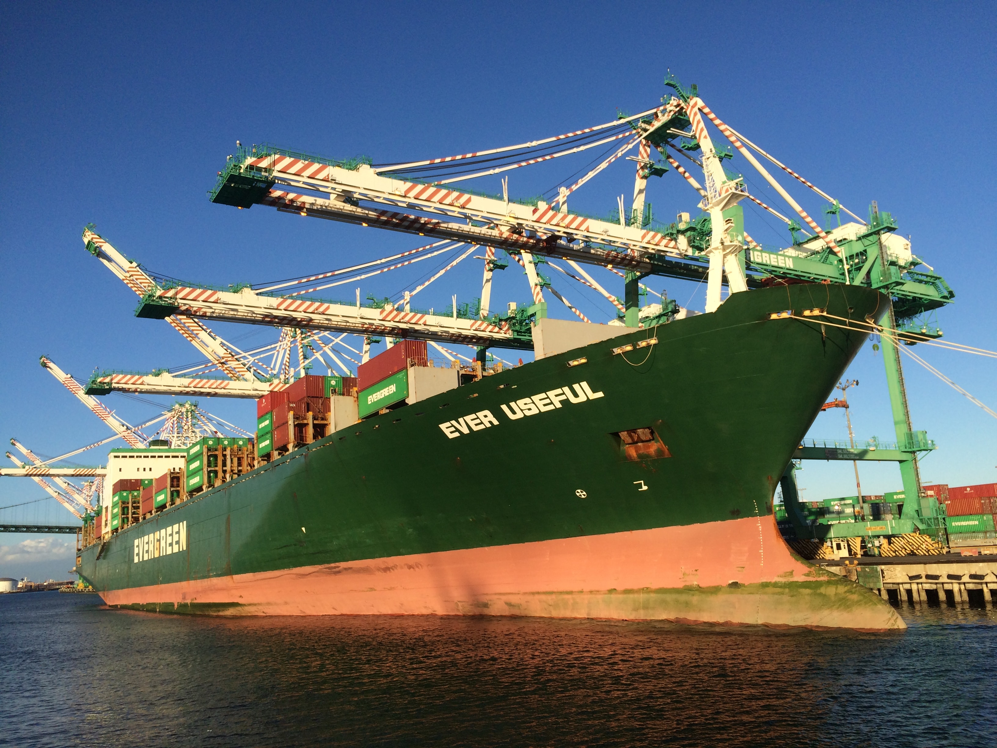
Port of Los Angeles, California. Photo by Nicholas Pevzner.
How might climate change affect densely-developed areas like New York? Many global coastal cities have grown in size by filling in their tidal estuaries. In many cases estuaries and wetlands near ports and highways have been converted into industrial facilities and distribution infrastructure. With sea level rise, at some point these low-lying lands will begin to experience regular high-tide flooding, just like the Aqua Alta in Venice. Even under conservative sea level rise scenarios, dense areas like New York are going to need expansive flood-management landscapes for water storage capacity.
I would argue that the industrial uses along the waterfront should not only be revered but they should be preserved, because in the future when we come up against that tidal surge and we come up against the need for storage capacity and impact attenuation for storms, these will be the perfect areas. Currently they’re noisy, they’re ugly, they’re not pedestrian-friendly, they don’t conserve water, but we will be very glad we have them 100 years from now.

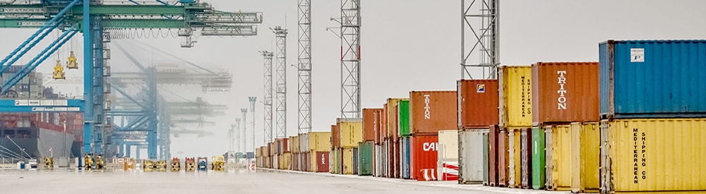
Port Elizabeth, New Jersey. Photo by Captain Albert E. Theberge, NOAA Corps (ret.).
The origins of fright movement were clear and predictable patterns based on weather, wind, and temperature. As we (reluctantly) embrace the effects of climate change, these basic issues will certainly be the drivers of the next patterns. Patterns that moved away from natural forces, and became subject to regulatory effects, will now go back to the basic factors of climate. We must realize that with the realignment of the pattern, we have opportunities to use these facilities for the protection of our existing cities. The port lands, the Meadowlands nearby — these areas which we now visually and culturally discard — these landscapes will be the places that save our region, because they will take the impact of the coming storms.
Header Image by Tristan Taussac.
Alex Klatskin is a General Partner of Forsgate Industrial Partners, a private industrial real estate development company based in Teterboro, NJ. Forsgate has built and owns ten million square feet of industrial property. Forsgate’s recent clients include L’Oreal, FedEx, Hermes, Coca-Cola, Hyundai Motor and Dassault. Before joining Forsgate in 1992, he was with the New York architectural firm of KPF.
Alex is member of the College of Fellows of the American Institute of Architects, a past member of the Board of Directors of the Washington, DC based Real Estate Roundtable, and Alex was the 2011 National Chairman of NAIOP, the Commercial Real Estate Development Association.
He has been a visiting architectural critic and/or lecturer at many universities, including Columbia, MIT, Cornell, Johns Hopkins, Penn and Cooper Union. Alex has also lectured for the American Bar Association, the International Council of Shopping Centers, the Architectural League of New York, and the Society of Industrial and Office Realtors.