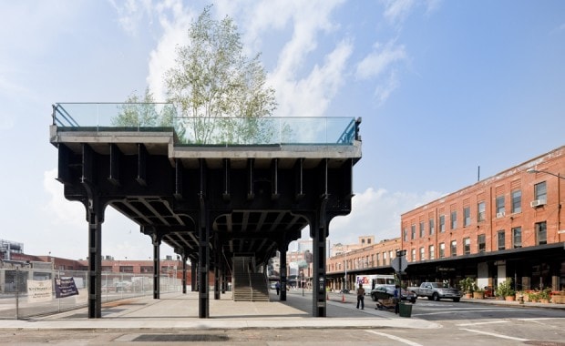
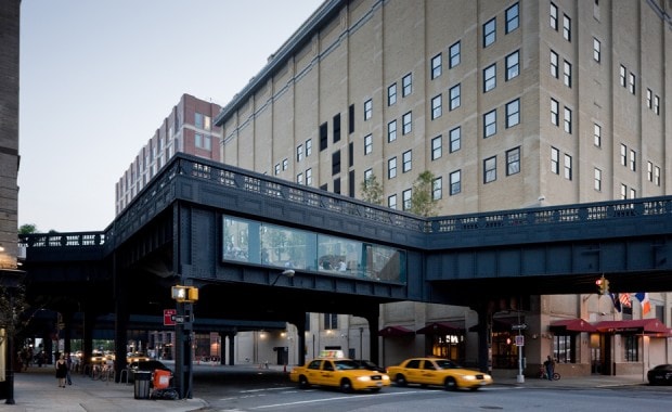
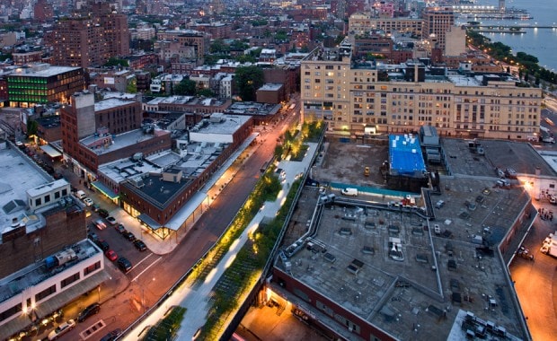
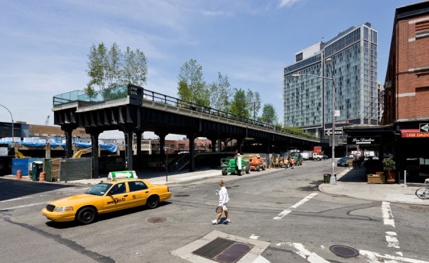
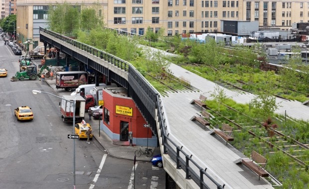
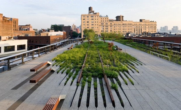
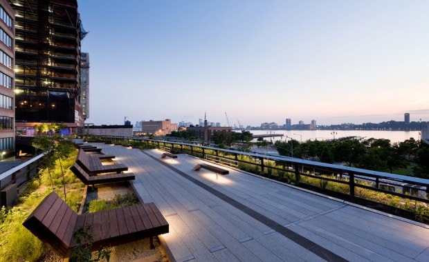
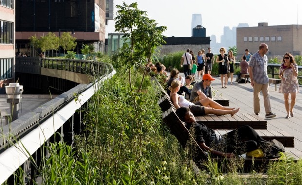
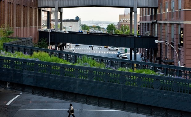
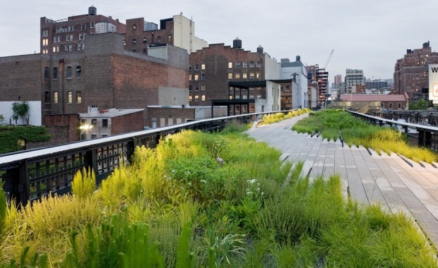
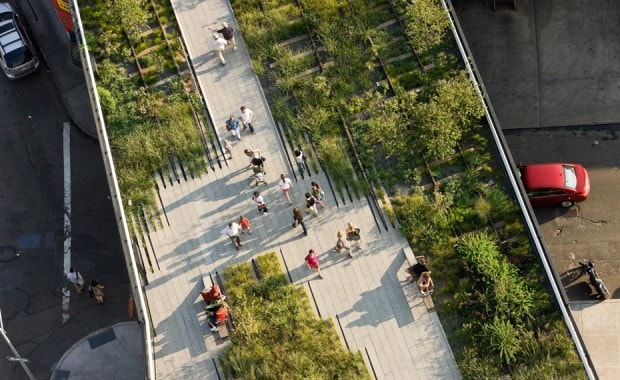
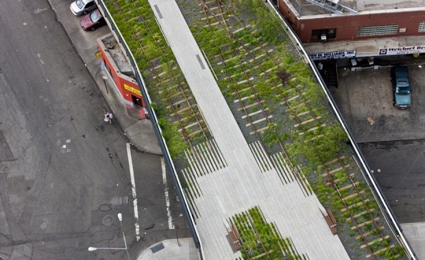
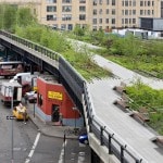
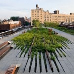
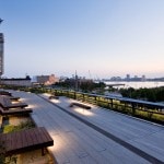
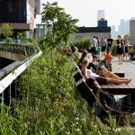
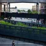
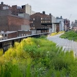
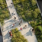
Project Description: The High Line is a 1.2-mile long abandoned elevated freight rail line along the west side of lower Manhattan. This 5.9 acre stretch of open space spans twenty city blocks in between and through buildings from Gansevoort Street through the meat packing district and West Chelsea, up to 30th Street, and ending at the Hudson Rail Yards. The High Line was built in the 1930s as part of the larger West Side Improvement Project, funded by the City and State of New Yorkand the New York Central Railroad, to eliminate dangerous street-level railroad crossings. The existing substrate consists primarily of rock ballast, railroad ties, steel rails, and reinforced concrete. Over the past twenty-four years since the last train ran on the High Line in 1980, a thin layer of soil has formed in some areas and an opportunistic landscape of early successional species began to grow inspiring its current design.
The High Line is now recognized as an important and distinctive asset to the city: an urban event operating on many scales—leveraging a new way of seeing the city, connecting distinct neighborhoods, providing an important green space for the immediate neighborhoods, and modeling a new kind of urban “greening.” The re-imagination of this industrial relic was a unique opportunity, and the High Line has transformed into an exceptional public open space.
Project Team Members: Field Operations and Diller Scofidio + Renfro
Project Detailed Credits:
Field Operations, Team Lead, Landscape Architecture / Urban Design
James Corner
Tom Jost
Lisa Switkin
Nahyun Hwang
Lara Shihab-Eldin
Sierra Bainbridge
Diller Scofidio + Renfro, Architecture
Elizabeth Diller
Ricardo Scofidio
Matthew Johnson
Charles Renfro
Gaspar Libedinsky
Hayley Eber
With:
Piet Oudolf, Horticulture
Olafur Eliasson, Artist
L’Observatoire, Lighting Design
Buro Happold, Structural Engineering / Sustainable Engineering
Robert Sillman Associates, Structural Engineering / Historic Preservation
Philip Habib Associates, Traffic Planning
GRB, Environmental Engineering
VJ Associates, Capital and Operating Cost Estimating
ETM, Public Space Management
DVS Associates, Site Security
Applied Ecological Services, Inc., Ecology
Code Consultants,ADA/ NYC Code / Regulations
Creative Time, Public Art Programming
Control Point, Site Surveyor
Image Captions and Credits: Images courtesy of Jim Corner Field Operations.
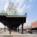
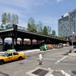
1. Gansevoort End, Plaza, and Stairs, Gansevoort and Washington Streets
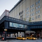
2. The Tenth Avenue Square, from street level, with windows onto Tenth Avenue
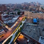
3. Gansevoort Woodland at Night, Aerial View from Gansevoort Street to West 13th Street, looking South
4. Gansevoort Plaza and Stair, Gansevoort Street and Washington Street, looking North
5. Gansevoort Woodland, Gansevoort Street to Little West 12th Street, looking South
6. Washington Grasslands, between Little West 12th Street and West 13th Street, looking South
7. Sundeck Water Feature and Preserve, between West 14th Street and West 15th Street, looking South
8. The Sundeck, one of the High Line’s most popular gathering spots, between 14th and 15th Streets
9. Northern Spur Preserve, between West 16th Street and West 17th Street, looking South towards the Statue of Liberty
10. Chelsea Grasslands, between West 19th Street and West 20th Street, looking North
11. Sundeck Water Feature and Preserve, between West 14th Street and West 15th Street, looking South
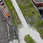
12. Washington Grasslands, aerial view of the High Line over Little West 12th Street
| previous project | next project |
